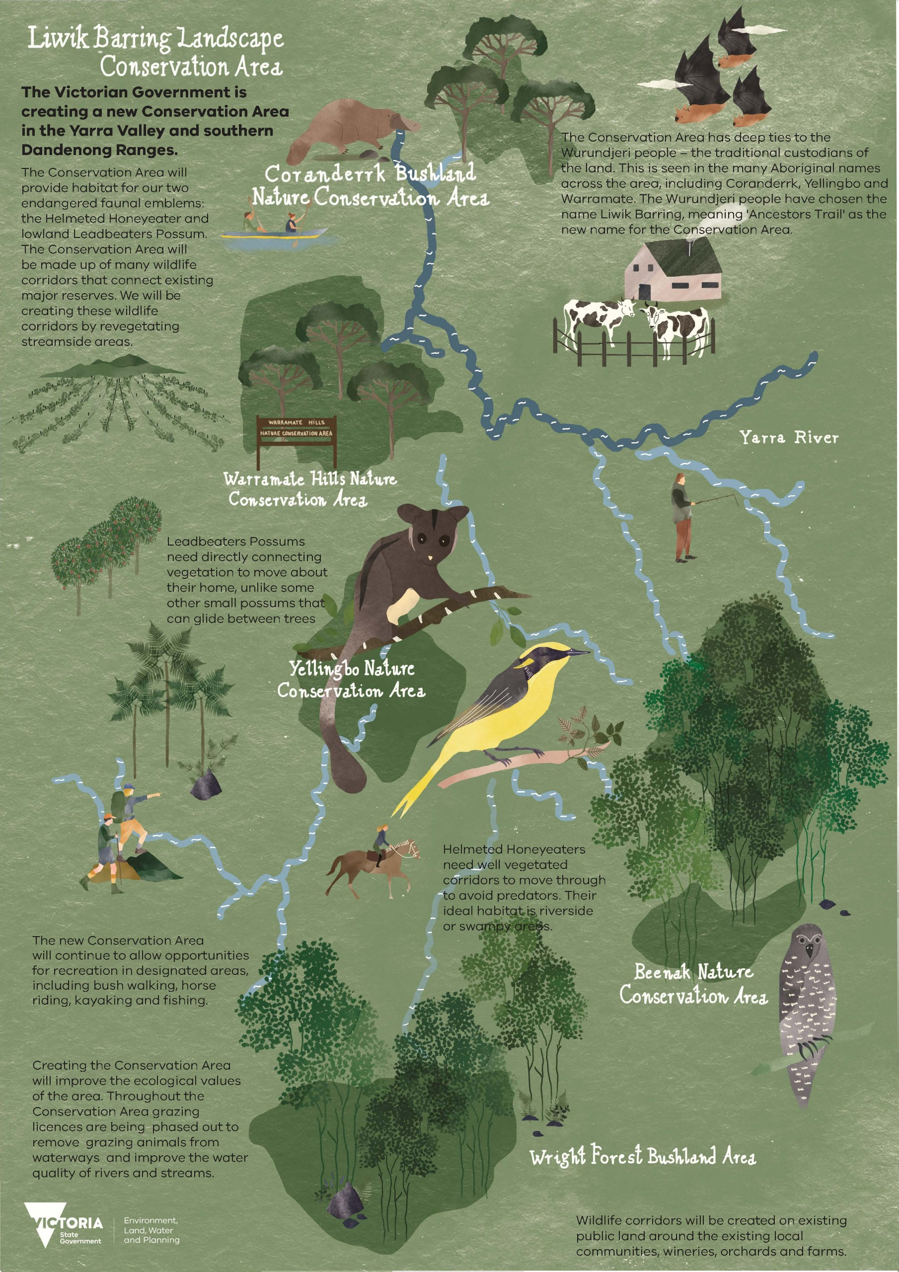
Liwik Barring
From Community Vision to Conservation Reality
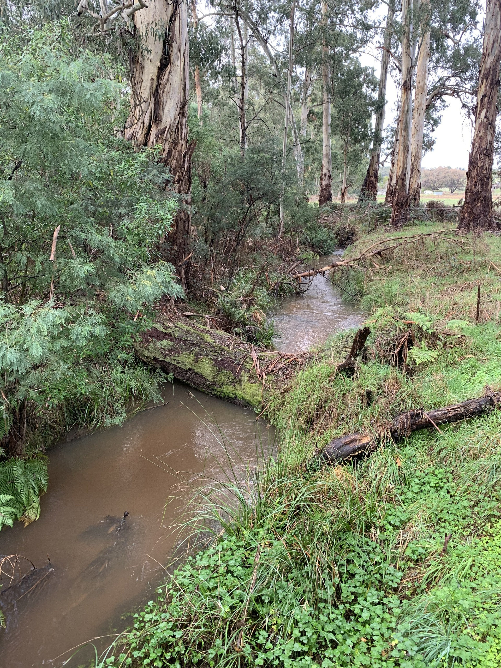
The story of Liwik Barring begins with community passion. In 2006, the Friends of the Helmeted Honeyeater and Macclesfield Landcare created a Local Area Plan for the Woori Yallock Creek sub-catchment, launched by former Premier Joan Kirner.
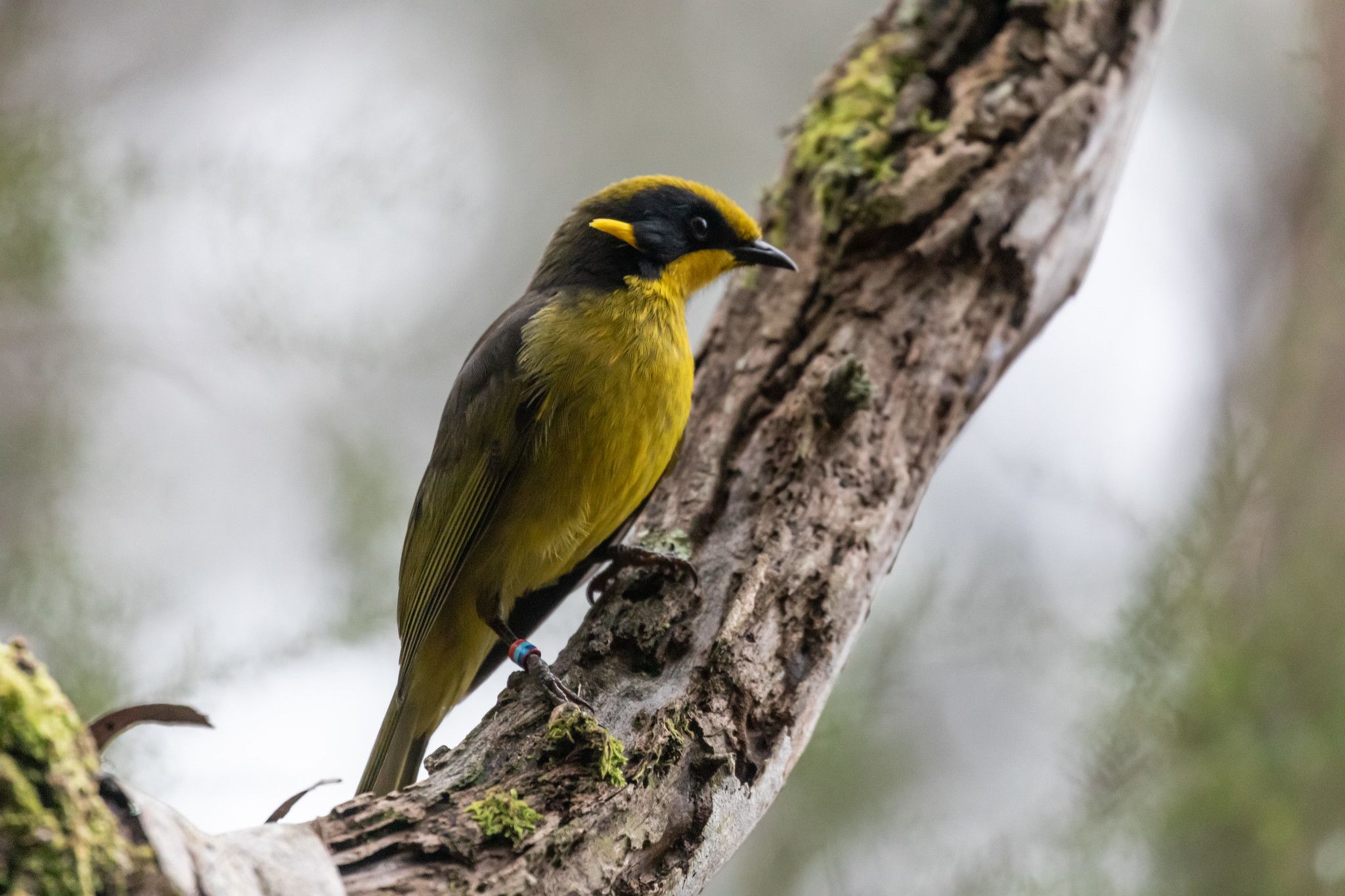
This groundbreaking document recognized that Victoria’s state emblems, the critically endangered Helmeted Honeyeater and lowland Leadbeater’s Possum, required connected habitat corridors to survive.
Building on this foundation, the Woori Yallock Creek Park Alliance championed the vision of unified protection. In 2012, they prepared the “Yellingbo State Emblems Park” proposal, articulating the case for bringing together fragmented bushland reserves under coordinated management.
The Victorian Government requested a formal investigation by the Victorian Environmental Assessment Council (VEAC) in 2011. VEAC’s 2013 report validated the community’s vision, recommending the creation of Victoria’s first landscape conservation area.
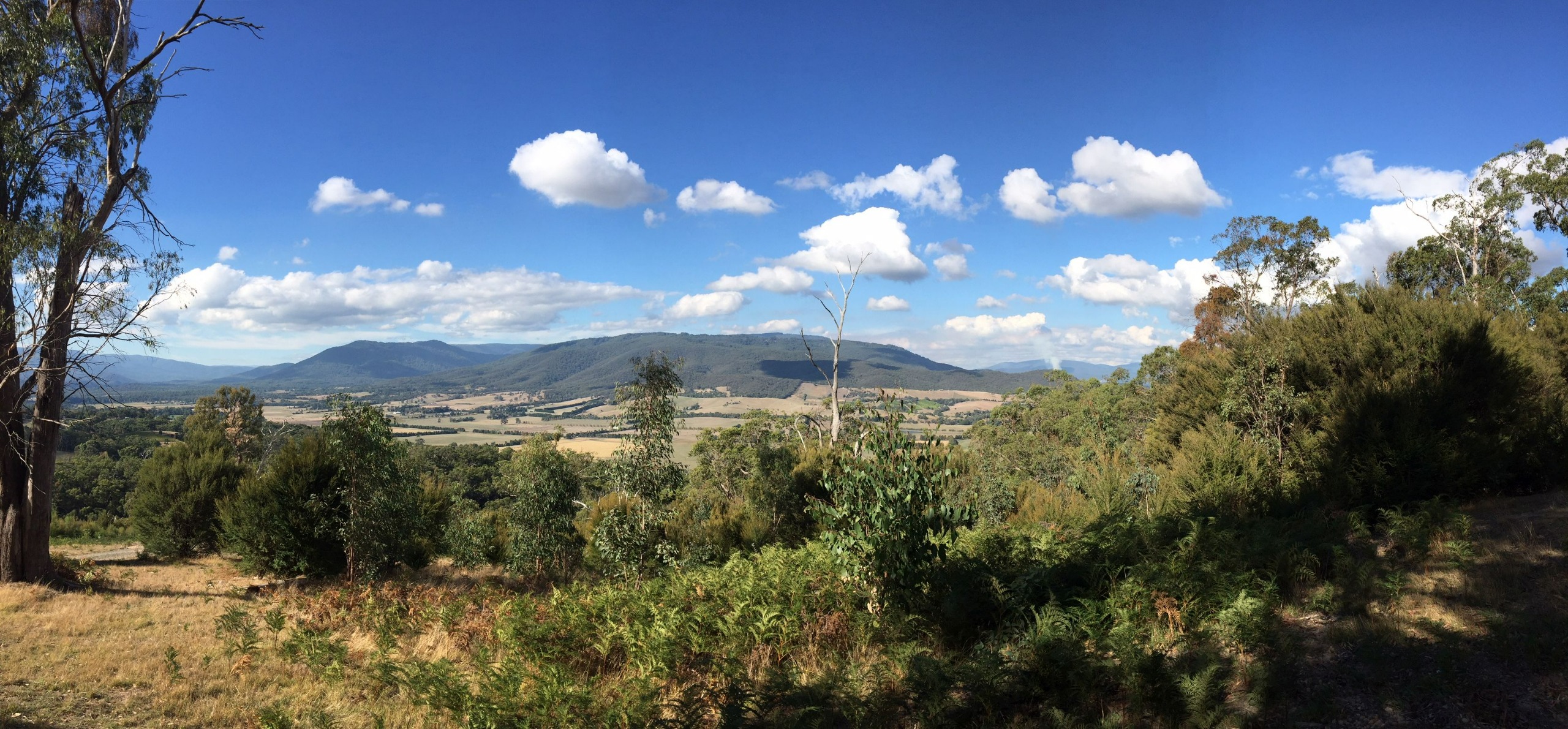
Warramate Hills Nature Conservation Area view from the East.
Following extensive consultation with Traditional Owners, community groups, and stakeholders, the area was renamed Liwik Barring, meaning “Ancestors’ Trail” in Woi Wurrung language. In December 2021, the Liwik Barring Landscape Conservation Area was officially proclaimed under the National Parks Act 1975, protecting 3,000 hectares of fragmented public land across the Yarra Valley and southern Dandenong Ranges.
Supported by $10.06 million in state funding, the 10-Year Plan guides habitat restoration, pest management, and community engagement. Now managed by DEECA in partnership with Parks Victoria and Melbourne Water, Liwik Barring represents a paradigm shift in conservation, demonstrating that persistent community advocacy, Indigenous partnership, and collaborative governance can protect our most precious natural heritage for future generations.